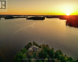
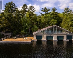
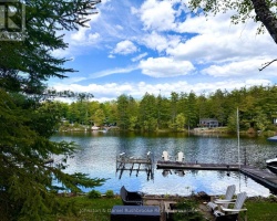
Lake Muskoka - (Muskoka Lakes)
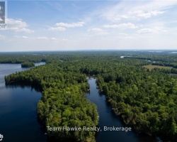
Lake Muskoka is centrally located within the District of Muskoka with many significant areas located on and around its shores. Some of these areas include a gullery on Eleanor Island in the southern basin in addition to deer wintering yards along the northwestern shores. Hardy Lake Provincial Park is located on the northeastern shore as well as the Torrance Barrens which are situated nearby.
Average traveling time from the GTA to Lake Muskoka - (Muskoka Lakes) is 2 hours 1 min
This Lake Median Lake Average Lake | |
Lake Muskoka is 12100 hectares (29900 Acres) in size The median size lake in our area is 71 hectares or 175 Acres (average size 398 hectares) | 12100 71 398 |
|
Lake Muskoka has a maximum depth 73 meters (240 ft)
The median depth of lakes in our area is 13.5 m or 44 ft (average depth 18 m) | 73 13.5 18 |
| The median depth of Lake Muskoka is 18.00 m (59 ft) | 18.00 5.2 7 |
|
Lake Muskoka Perimeter 269.00 km (167.15 Miles)
The median perimiter of lakes in our area is 3.3 km or 2.05 miles (average Perimiter 3.61 km) | 269.00 3.3 4 |
| Lake Muskoka Island/s Perimeter 209.00 km (129.87 Miles) | |
|
Lake Muskoka Altitude 225 m (738 ft)
The median altitude of lakes in our area is 290 m or 951 ft (average Altitude is 289 m) | 225 290 289 |
|
Water Clarity of Lake Muskoka (median 3.2 m) 3.60 m (12ft)
The median Secchi Depth of lakes in our area is 3.2 m or 10 ft (average Secchi Depth is 3 m) | 3.60 3.2 3 |
| 15 % of Lake Muskoka shorline is wetland. The median percentage of shoreline which is wetland of lakes in our area is 9 % (average Percentage of shoreline which is wetland 10) % |
Percentage of Shoreline which is wetland 15 9 10 |
|
Lake Muskoka's phosphorus content in water is 5.50 ug/L
The median Phosphorus content in the water of lakes in our area is 8 ug/l (average Phosphorus content 9 ug/L | 5.50 8 9 |
| Lake Muskoka's watershed area feeding the Lake (excluding lake) 4600.0 km2 (1136683 acres) | |
| Lake Trout found in Lake Muskoka: Yes | |
| Drainage Basin of Lake Muskoka Muskoka River | |
| Lake Muskoka is in the Township of Muskoka | |
| Shoreline Development on Lake Muskoka is: Intense; urban, shoreline residential, commercial, | |
| Public Access to Lake Muskoka Public launches: Bracebridge - George Road, Beaumont Drive; Gravenhurst – Muskoka Wharf; Bala; Milford Bay and others; private access through several marinas. Boat Launch | |
| Water Level Management Regulated; water level is controlled by MNR-owned and operated dams at Bala. Flows and levels are governed by the Muskoka River Water Management Plan. | |
| Major Fish Species in Lake Muskoka (E), (S), lake whitefish (R), (R), (I), , , (I?), (I?), (I?) | |
| Other Fish Species in Lake Muskoka longnose sucker, , lake chub, golden shiner, common shiner, blacknose shiner, spottail shiner, spotfin shiner (I), bluntnose minnow, black bullhead (?), brown bullhead, margined madtom (I?), trout-perch, (I), , black crappie (I 1989), , Iowa darter, logperch, cisco, Slimy Sculpin, Spoonhead Sculpin | |
| Other Species in Lake Muskoka spiny water flea (I 1989), freshwater jellyfish (I 2002) | |
| Notes: E: extirpated, I: introduced – intentional or accidental, O: occasional, R: remnant, S: currently stocked, ?: status uncertain, 2009: year of first record or introduction if known, blank: presumed native | |
| Much of the above data for Lake Muskoka is compliments of the Muskoka Water Web maintained by The District Municipality of Muskoka | |
Maps of Lake Muskoka
Topographical Map of Lake Muskoka in Muskoka Lakes
Legend
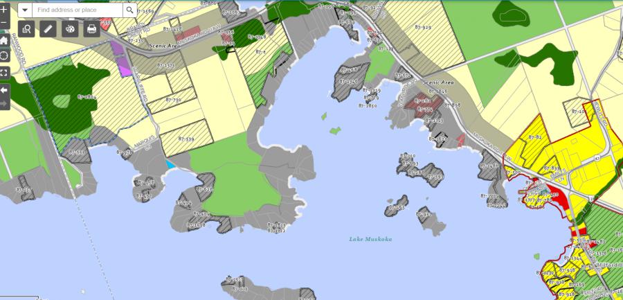
Zoning Map of Lake Muskoka in Muskoka Lakes
Legend of Muskoka Lakes Zoning Map - Lake Muskoka
Waterfront ResidentialEnvironmentally Protected
Community Residential
Open Space
Rural
Residential Rural
Waterfront Landing
Waterfront Commercial
Waterbody Open Space
Crown Land Map of Lake Muskoka in Muskoka Lakes
Legend for Crown Land Map
Private Land surrounding Lake Muskoka - (Muskoka Lakes)Provincial Park surrounding Lake Muskoka - (Muskoka Lakes)
Crown Land surrounding Lake Muskoka - (Muskoka Lakes) (General Use)
Conservation Reserve surrounding Lake Muskoka - (Muskoka Lakes)
Lake Contour Maps showing the depths of Lake Muskoka
This map is courtesy of Gps Nautical Maps and you can purchase this map as an app from GpsNauticalCharts.com
All measurements of the countour map showing the depths of Lake Muskoka are in feet.
Cottages for Sale on Lake Muskoka
Cottages for Sale close to Lake Muskoka
Previously listed Cottages on Lake Muskoka
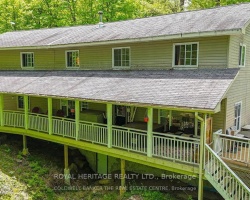
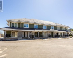
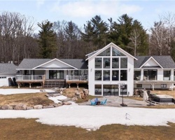
1023 KIRKPATRICK LANE, Bracebridge (Draper), P1L1X1 was previously listed 2025-05-20, mls# X12158169
26 ISLAND 26LM, Gravenhurst (Muskoka (S)), P1P1R2 was previously listed 2025-03-19, mls# X12027647
443 BY-LOCK ACRES ROAD, Huntsville (Brunel), P1H1S1 was previously listed 2025-02-24, mls# X11986152
1039 VIEWPOINT TRAIL Trail, Bracebridge, P1P1L1 was previously listed 2025-01-27, mls# 40693568
401 31 Dairy Lane, Huntsville (Chaffey), P1H1L7 was previously listed 2024-12-27, mls# X11901339
-Muskoka-Lakes-753.png)
-Muskoka-Lakes-926.png)
-Muskoka-Lakes-725.png)
