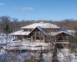
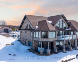
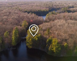
Poverty Bay - (Magnetawan)
This Lake Median Lake Average Lake | |
Poverty Bay is 78 hectares (193 Acres) in size The median size lake in our area is 71 hectares or 175 Acres (average size 398 hectares) | 78 71 398 |
|
Poverty Bay Altitude 272 m (892 ft)
The median altitude of lakes in our area is 290 m or 951 ft (average Altitude is 289 m) | 272 290 289 |
| Poverty Bay's watershed area feeding the Lake (excluding lake) 18.1 km2 (4473 acres) | |
| Drainage Basin of Poverty Bay Lower Magnetawan River | |
| Poverty Bay's percentage of shoreline which is Crown Land 5 % | |
| Poverty Bay is in the Township of Croft | |
| Local Name of Poverty Bay is Magnetawan RIver | |
| Public Access to Poverty Bay Boat Launch | |
| Much of the above data for Poverty Bay is compliments of the Muskoka Water Web maintained by The District Municipality of Muskoka | |
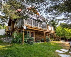
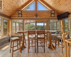
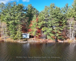
Cottages for Sale on Poverty Bay - (Magnetawan)
Sorry no cottages for sale at the moment on Poverty Bay (Magnetawan)